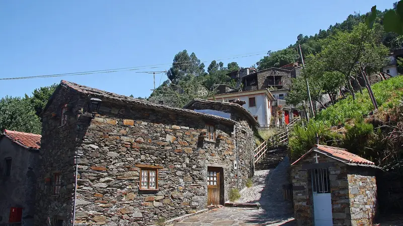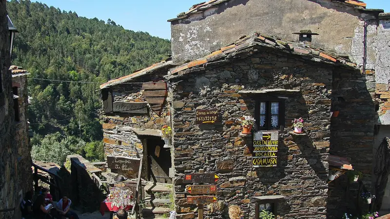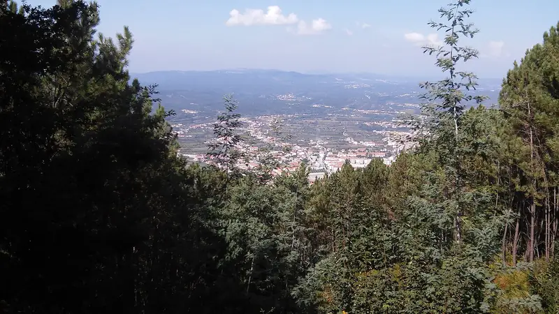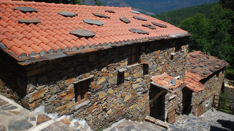
The marked routes
The five routes with the LSA code are part of the walking-trail network of the municipality of Lousã. The Schist Villages network lists them for Talasnal as PR1 Rota dos Moinhos (Mill Route), PR2 Rota das Aldeias do Xisto (Schist Villages Route), PR3 Rota da Levada (Levada Route), PR5 Rota dos Serranos (Serranos Route) and PR8 Rota do Marigo (Marigo’s Route).
PR3 and the levada
The PR3 leaflet describes a loop that can start at the Castelo da Lousã or at Cerdeira, passing Candal, with signposts in Candal pointing on to Cerdeira, and it rates the route as difficult. One route listing also mentions a detour from the route to a waterfall near Talasnal. Treat both as pointers and read the leaflet.
Longer routes
The network lists the Epic Climb from Lousã to Trevim and the Clássica Aldeias do Xisto from Barroca to Cerdeira; we could not read their length or grade, so check the network’s route pages. One visitor article says Trevim, with its swing at about 1,200 m, is the highest point of the Serra.
Before you start
- Get the leaflet for your route from the municipality or its website, and check whether the route is open after fires or storms.
- Take water and food: the village page lists no restaurant in Talasnal.
- Tell your lodging where you are going. See where to stay and the neighbouring villages.
- Contacts listed on the Schist Villages page: Lousã municipality (+351) 239 990 370 and the Lousã tourist office (+351) 239 990 040.
Check lodging in and near Talasnal
Our guide to how to get to Talasnal covers the road, and the Talasnal home page lists everything else.
Frequently asked questions
Which trail is hardest?
The municipality's leaflet for the PR3 Levada Route rates it difficult (grau IV). Read the leaflet for the stage details before you start.
Where do I get route maps?
The Lousã municipality publishes leaflets for its walking-trail network at cm-lousa.pt, including PR2 and PR3. Komoot also lists a Cerdeira to Candal loop.
Is there a walk to Candal?
Yes. The PR3 leaflet says signposts in Candal point on to Cerdeira, and the Schist Villages network lists PR3 and PR4 as passing through Candal.
Some links are affiliate links: if you book through them we earn a small commission at no extra cost to you. It funds the research behind this site.